|
|
||||
|
|
||||
|
Cehennem |
||||
|
For cave maps and drawings please click on the picture... |
For photographs please click on the photo... |
|||
|
 |
|||
|
Type: |
Vertical Cave | |||
|
Altitude: |
150 m | |||
|
Depth: |
-70 m | |||
|
Length: |
m | |||
|
Region: |
Mediterranean | |||
|
Province: |
Mersin | |||
|
District: |
Silifke | |||
|
Village: |
Narlikuyu | |||
|
|
||||
 |
||||
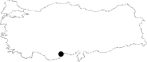
| Location: It is 22 km far from Silifke; 63 km southwest of Mersin. It is an elliptical depression pit with a dimension of 50x75 m; opened vertically 75 m east of the Cennet Cukuru (Heaven). |
| Structural Properties and formation : It was formed as a result of the roof collapse due to erosion by an underground creek within the Miocenic calcareous deposits. It is elliptical and has a dimension of 50x75 m. It is steeper and narrower compared to the Cennet Obrugu. The debris accumulated at the bottom of the pothole due to the collapsed roof descends with a 30 degrees inclination toward east from west. |
| Research History: It was first explored by T. Aygen. |
| Findings: |