|
|
||||
|
|
||||
|
Bük |
||||
|
For cave maps and drawings please click on the picture... |
For photographs please click on the photo... |
|||
|
 |
|||
|
Type: |
Vertical Cave | |||
|
Altitude: |
260 m | |||
|
Depth: |
-28 m | |||
|
Length: |
34 m | |||
|
Region: |
Aegean | |||
|
Province: |
Aydin | |||
|
District: |
Kusadasi | |||
|
Village: |
Kirazli | |||
|
|
||||
 |
||||
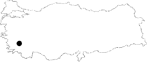
| It is located at Gölyeri Mevkii to the northwest of the Kirazli Village. It was developed over a east-west directed fault within the Mezosoic aged dolomitic marbles. It is a dry cave. It was explored and mapped by MTA. |
| Location: |
| Structural Properties and formation : |
| Research History: |
| Findings: |