|
|
||||
|
|
||||
|
Buzluk |
||||
|
For cave maps and drawings please click on the picture... |
For photographs please click on the photo... |
|||
|
 |
|||
|
Type: |
Cave | |||
|
Altitude: |
2500 m | |||
|
Depth: |
m | |||
|
Length: |
m | |||
|
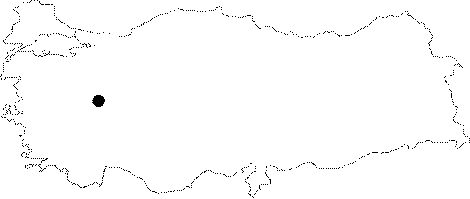
Region: |
Aegean | |||
|
Province: |
Afyonkarahisar | |||
|
District: |
Sultandag | |||
|
Village: |
Dereçine | |||
|
|
||||
 |
||||
| It lies on the northwestern summit of the Sultan Mountains (2519 m) to the south of the Derecine Village of the Sultandagi District. It is on the Afyon-Konya motorway. It can be reached by a 4 hour walk from the Kirazli Plateau. It has a narrow entrance. Ice formation on the walls is explained in connection to the form of the cave and the climate conditions: the water leaking from the walls in the cave; which was developed in a horizontal form; evaporates in summer by strong air draft due to temperature differences. Loss of heat due to evaporation leads to cooling; eventually resulting in formation of an ice layer on the walls. It is told that there is a steam outflow from the cave in winter. The Sultan Mountains and the Buzluk Cave; which have snow until the end of June can only be reached during summer. |
| Location: |
| Structural Properties and formation : |
| Research History: |
| Findings: |