|
|
||||
|
|
||||
|
Buzluk |
||||
|
For cave maps and drawings please click on the picture... |
For photographs please click on the photo... |
|||
|
 |
|||
|
Type: |
Cave | |||
|
Altitude: |
1200 m | |||
|
Depth: |
21 m | |||
|
Length: |
57 m | |||
|
Region: |
Black Sea | |||
|
Province: |
Sinop | |||
|
District: |
Duragan | |||
|
Village: |
||||
|
|
||||
 |
||||
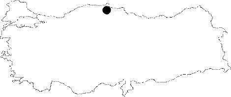
| It is approximately 13 km northwest of Duragan District of Sinop. It was researched by BÜMAK in June 2008. Fire observation house in Buzluk Plains is reached when the street sign are followed from the district center. Face the fire house and the signs on the hill will take you to the entrance of the cave. The cave has a large entrance and it starts off with a depression gallery. Large rock massives were fallen inside the gallery. Glaciation is observed inside the small hole on the basin that leads to the main gallery. After a 3 m descent in main gallery, a 6-7 m long, 3 m wide and 4 m high corridor is reached. The rocks inside are covered by 1-2 cm of ice. A large area is accessed by crawling after the passage at the end of the corridor, and there the curtains covered with ice are observed. The basin contains small frozen lakes. The cave ends with a doline. |
| Location: |
| Structural Properties and formation : |
| Research History: |
| Findings: |