|
|
||||
|
|
||||
|
Buz Kuyusu |
||||
|
For cave maps and drawings please click on the picture... |
For photographs please click on the photo... |
|||
|
 |
|||
|
Type: |
Cave | |||
|
Altitude: |
m | |||
|
Depth: |
-18 m | |||
|
Length: |
40 m | |||
|
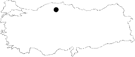
Region: |
Black Sea | |||
|
Province: |
Kastamonu | |||
|
District: |
Azdavay | |||
|
Village: |
Kerte | |||
|
|
||||
 |
||||
| It is a fossil cave; located 300 m northwest of the occluded sinkhole where the Kokurdan Yayla Creek sinks into; near the Kerte Village. It is very cold as there is ice inside the cave throughout the year. It was explored and mapped to the BCRA 3b standards in 1988. |
| Location: |
| Structural Properties and formation : |
| Research History: |
| Findings: |