|
|
||||
|
|
||||
|
Boroglu |
||||
|
For cave maps and drawings please click on the picture... |
For photographs please click on the photo... |
|||
|
 |
|||
|
Type: |
Horizontal Cave | |||
|
Altitude: |
m | |||
|
Depth: |
+24.8 m | |||
|
Length: |
299.7 m | |||
|
Region: |
Central Anatolia | |||
|
Province: |
Konya | |||
|
District: |
Hadim | |||
|
Village: |
Korualan | |||
|
|
||||
 |
||||
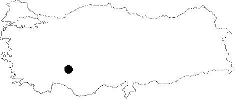
| Location: It is located near the Korualan County of the Hadim District. |
| Structural Properties and formation : It acts like a spring cave. Formed within the Jura-Cretaceous aged limestones; it has two sections. The difference of altitude between active and fossil levels is 24 m. In the active part; there is an underground creek which flows in all seasons. The mouth of the entrance is very large. |
| Research History: Explored by the Caving Club of the Dokuz Eylül University; it was mapped to the 3c standard. |
| Findings: |