|
|
||||
|
|
||||
|
Boraz Makka |
||||
|
For cave maps and drawings please click on the picture... |
For photographs please click on the photo... |
|||
|
 |
|||
|
Type: |
Horizontal Cave | |||
|
Altitude: |
1800 m | |||
|
Depth: |
-21 m | |||
|
Length: |
95 m | |||
|
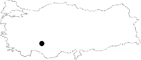
Region: |
Central Anatolia | |||
|
Province: |
Konya | |||
|
District: |
Hadim | |||
|
Village: |
Bozkir | |||
|
|
||||
 |
||||
| A turn is made to the stabilized road on the left following Hadim-Bozkir road; and continued toward Hadim on foot. It is already known by the local people. The bottom is partly covered by mud. |
| Location: |
| Structural Properties and formation : |
| Research History: |
| Findings: |