|
|
||||
|
|
||||
|
Baspinar |
||||
|
For cave maps and drawings please click on the picture... |
For photographs please click on the photo... |
|||
|
 |
|||
|
Type: |
Cave | |||
|
Altitude: |
550 m | |||
|
Depth: |
-8 m | |||
|
Length: |
50 m | |||
|
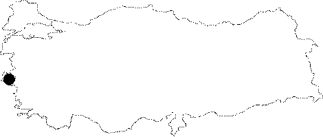
Region: |
Aegean | |||
|
Province: |
Izmir | |||
|
District: |
Kemalpasa | |||
|
Village: |
Visneli | |||
|
|
||||
 |
||||
| It lies next to the Baspinar Spring in the Visneli Village of Torbali. A road leads to the cave from the village; followed by a 15-20 minute walk. It was formed within the Cretaceous aged limetones along a fault; mostly in an horizontal form. It is adorned with travertines; stalactites; stalagmites and columns. It is usually dry; but there is accumulated water at the end. It was explored by MTA; and a few bats were seen at deeper sections. |
| Location: |
| Structural Properties and formation : |
| Research History: |
| Findings: |