|
|
||||
|
|
||||
|
Balikkayasi |
||||
|
For cave maps and drawings please click on the picture... |
For photographs please click on the photo... |
|||
|
 |
|||
|
Type: |
Cave | |||
|
Altitude: |
3 m | |||
|
Depth: |
m | |||
|
Length: |
4 m | |||
|
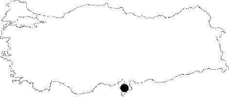
Region: |
Mediterranean | |||
|
Province: |
Hatay | |||
|
District: |
Samandag | |||
|
Village: |
Çevlik | |||
|
|
||||
 |
||||
| It was mapped to the BCRA 4d standards by O.Ozbek. |
| Location: |
| Structural Properties and formation : |
| Research History: |
| Findings: |