|
|
||||
|
|
||||
|
Balatini |
||||
|
For cave maps and drawings please click on the picture... |
For photographs please click on the photo... |
|||
|
 |
|||
|
Type: |
Horizontal Cave | |||
|
Altitude: |
1360 m | |||
|
Depth: |
-32 m | |||
|
Length: |
1768 m | |||
|
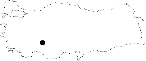
Region: |
Central Anatolia | |||
|
Province: |
Konya | |||
|
District: |
Beysehir | |||
|
Village: |
Çamlik | |||
|
|
||||
 |
||||
| Location: It lies within the boundaries of the Camlik Area of Beysehir District and the Derebucak District of Konya. It can be reached from a road deviating at 45th km of the Konya-Beysehir-Uzümlü-Manavgat motorway; passing by Camlik and Derebucak through a stabilized road connecting these two settlements. Being 5 km far from Camlik and 6 km far from Derebucak; it lies 3 km northwest to the Körükini and Suluin Caves. Located 6 km west to the Camlik town; it has two mouths; one "sinkhole inlet" and the other "spring outlet". |
| Structural Properties and formation : It was developed within the Jura-Cretaceous limestones of the Beysehir-Hoyran Nappes. The Balat Uvala housing the cave on its edge was formed by karstification; decomposition of the Pliocene relief system. The decomposition was resulting from the Post-Pliocene tectonic movements. The cave has two entrances; one sinkhole and the other spring; and it consists of three interconnected main branches. The entrance near the road draws the water of a small uvala and drains it out through the slope facing the Uzunsu Creek alongside a valley deeply cleft lying 2 km to the south. Balatini is formed of two different levels on top of each other. The bottom of the fossil branch; which comprises the upper level; is entirely covered with cavern clay while in the water-carrying gallery at the lower level it is possible to walk through the gallery when there is not much water. The main gallery composes of two branches. Initiatingly comprising a single gallery; this active/semi-active main gallery is divided into two in midway. Of these; the one on the left is the active branch. With water flowing even in the most rainless season; it is the narrowest gallery of the cave with the lowest roof. The second branch of the main gallery; on the other hand; leads to the sinkhole entrance in the uvala. Three giant whirlpools; only one of them which is deeper than 5 m; can be passed by travers technique or by boat. There are beautiful decorations and many lakes inside the cave. Among these lakes; of which the depth varies between 0.5 and 2 m lie some islets of pebble and sand. |
| Research History: The first survey of the Balatini Cave was carried out in 1970 by T. Aygen together with French and Italian cavers; and it was mapped by MAD in 1982 and Swinton and MTA in 1992 separately. It has been reported that it is 1768 m long and its deepest point in respect to the entrance is -32 m. |
| Findings: According to the MTA report; the potsherds and cultural deposit revealed on the upper fossil level are indicative of the archaeological significance of the cave. No archaeological survey has been conducted yet. |