|
|
||||
|
|
||||
|
Bademalani |
||||
|
For cave maps and drawings please click on the picture... |
For photographs please click on the photo... |
|||
|
 |
|||
|
Type: |
Horizontal Cave | |||
|
Altitude: |
260 m | |||
|
Depth: |
-9 m | |||
|
Length: |
18 m | |||
|
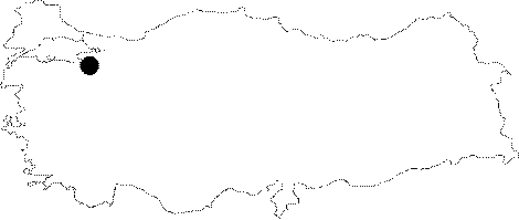
Region: |
Marmara | |||
|
Province: |
Bursa | |||
|
District: |
Karacabey | |||
|
Village: |
Taslik | |||
|
|
||||
 |
||||
| Location: Lying to 1 km northeast of the Sahinköy Cave; it is located on the south-middle slope of the Calbasi Hill. It can be reached bypassing the Sahinköy Cave or walking through the pathway deviating from the Sahinköy-Akcakoyun road. |
| Structural Properties and formation : It is a sinkhole type of fossil cave; which already halted its development. The first entrance drops into a -6 m steep shaft. This descent is connected to a gallery; which grew along a joint; and whose bottom is covered with blocks and debris. It is dry in all seasons. |
| Research History: It was explored and mapped by MTA; and published in 1997. |
| Findings: |