|
|
||||
|
|
||||
|
B 1 |
||||
|
For cave maps and drawings please click on the picture... |
For photographs please click on the photo... |
|||
|
 |
|||
|
Type: |
Vertical Cave | |||
|
Altitude: |
m | |||
|
Depth: |
-30 m | |||
|
Length: |
m | |||
|
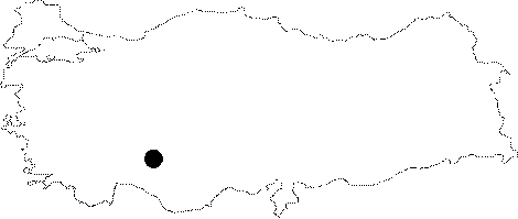
Region: |
Central Anatolia | |||
|
Province: |
Konya | |||
|
District: |
Bozkir | |||
|
Village: |
||||
|
|
||||
 |
||||
| It lies 1 km southwest of the Bozkir District. It drops into a 23 m descent; where the branch at the bottom continues for a long while northward; and then turning to southward; and opening into a chimney adorned with beautiful sinter decorations. It was explored and mapped during the Toroslar Türkiye '89 Survey; a joint British and Czechoslovak speleological excursion. |
| Location: |
| Structural Properties and formation : |
| Research History: |
| Findings: |