|
|
||||
|
|
||||
|
Ayvaini |
||||
|
For cave maps and drawings please click on the picture... |
For photographs please click on the photo... |
|||
|
 |
|||
|
Type: |
Horizontal Cave | |||
|
Altitude: |
370 m | |||
|
Depth: |
-22 m | |||
|
Length: |
4866 m | |||
|
Region: |
Marmara | |||
|
Province: |
Bursa | |||
|
District: |
Mustafakemalpasa | |||
|
Village: |
Doganalan | |||
|
|
||||
 |
||||
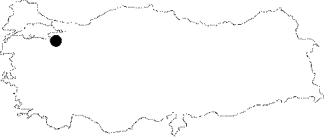
| Location: It lies to the southeast of the Uluabat Lake. By turning left from the Cali junction on the Bursa-Mustafakemalpasa motorway; Doganalan Village is reached; following the Mustafakemalpasa signs. In order to reach to the exit-mouth of the cave; a turn should be made to the direction of Uncukuru-Ayvaköy before Doganalan. As the crow flies; there is a 4 km distance between the mouths of the sinkhole and the spring. |
| Structural Properties and formation : It was formed within the Jura-Lower Cretaceous limestones. It grew horizontally except the entrance. It is a through cave with double entrance. There is a vertical descent of 17 m immediately after the entrance; and a ladder should be used for descending. The mouth of the entrance; where the Karadonlu Creek disappears forming a 10 m waterfall; can be easily found along the course of the water. There are plenty of lakes inside the cave; which can be passed despite the fact that the level of water increases in spring. After the hall right down the descent; the main gallery starts; continuing with an inclination of 1-2% and the width varies between 4 and 10 m. There are many chimneys; which are considered to carry the water from the surface dolines and which also have large travertine depots underneath. Surfaces covered with a slippy layer makes it difficult to climb. Among decorations; particularly of interest are stalactites. |
| Research History: The first survey was carried out in 1952 by K. Lindberg; a Swedish biospelelogist who conducted the first speleological surveys in Turkey. Following the exploration carried out in 1970 by the Spanish carvers; the Ayvaini Cave was defined as one of the longests caves in Turkey. It was explored in 1986 and 1987 by BUMAK; and a section up to 1974 m from the Doganalan entrance was mapped to the 3c standard. Furthermore; C. Chabert and BUMAK are already working together for a very detailed traverse. |
| Findings: A limited number of bats was seen in the entrance zone [Nazik et al. 1997:87-89]. |