|
|
||||
|
|
||||
|
Ayvacik Düdeni |
||||
|
For cave maps and drawings please click on the picture... |
For photographs please click on the photo... |
|||
|
 |
|||
|
Type: |
Vertical Cave | |||
|
Altitude: |
m | |||
|
Depth: |
-228 m | |||
|
Length: |
1822 m | |||
|
Region: |
Aegean | |||
|
Province: |
Izmir | |||
|
District: |
Ödemis | |||
|
Village: |
Gölcük | |||
|
|
||||
 |
||||
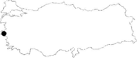
| Location: It is located at the bottom of the range of hills between the Subatan Plateau and the Ayvacik Plateau of the Odemis District. |
| Structural Properties and formation : Today being an active cave; it has percolation of rainwater and snowmelt. The dimension of the entrance is approximately 2x2 m. A 2 m descent leads into the start of the first incline; when the arm on the left side is followed. The structure of the cave causes rubbing at several points during ribbing; therefore a rope protector and hose must be used. Initially vertical; the cave gets horizontal at around -120 m. The horizontal part can be advanced by walking. There are plenty of whirlpools here; which can only be passed either by taking hold of the walls or chimneying. It ends up with a -228 m siphon. During the surveys carried out by Wolozan; a French caver and his team; the length reached to a total of 1822 m by addition of new branches [Wolozan 1993:3]. |
| Research History: It was explored by BUMAK in 1988 and DEU-MAK in 1997-99. In 1992; it was also explored by D. Wolozan and his team; and new branches were added. |
| Findings: During the survey carried out by BUMAK; it had been reported that big mosquitos and spiders were seen at the beginning of the first descent and various types of bats were observed. |