|
|
||||
|
|
||||
|
Aytepe |
||||
|
For cave maps and drawings please click on the picture... |
For photographs please click on the photo... |
|||
|
 |
|||
|
Type: |
Horizontal Cave | |||
|
Altitude: |
m | |||
|
Depth: |
13 m | |||
|
Length: |
542 m | |||
|
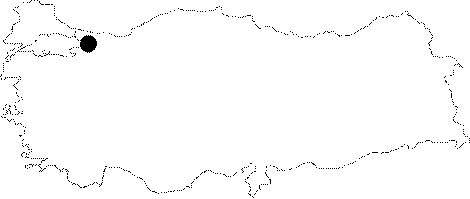
Region: |
Marmara | |||
|
Province: |
Kocaeli | |||
|
District: |
Bahçecik | |||
|
Village: |
Servetiye | |||
|
|
||||
 |
||||
| It was found by BUMAK in the valley near the Veysel Dayi Cave. It is situated tothe north of Kocaeli. The area can be reached by going from Kocaeli to Yuvacik then to Servetiye. Afer the village the water tower on the west of Aytepe is reached. The cave entrance is located in the upper creek bank which is dry in summer 10 m from the water tower on the side of the motorway to the tower. After entering the main creek bank from the motorway and climbing the dried out stream bed which has a basin covered with large stones, the entrance of the cave can be seen on the left side. It is a completely fossil cave; and continues for 500 m along a main gallery. Water is accumulated in three small halls during rainy seasons. Although two halls can be passed in dry season; the last hall is mostly like a siphon. Following that siphon; which could have been crossed only once; the cave continues again in a fossil condition. Due to the debris, mud and sand accumulations the ceiling height gets as low as 70 cm at narrow passages. Many hidden chimneys constitute an air current within the cave. There are many limestone deposits inside the cave. These are in different forms and usually active. The cave does not necessitate any further equipments. |
| Location: |
| Structural Properties and formation : |
| Research History: |
| Findings: |