|
|
||||
|
|
||||
|
Asirli / Asirliada |
||||
|
For cave maps and drawings please click on the picture... |
For photographs please click on the photo... |
|||
|
 |
|||
|
Type: |
Horizontal Cave | |||
|
Altitude: |
0 m | |||
|
Depth: |
m | |||
|
Length: |
33 m | |||
|
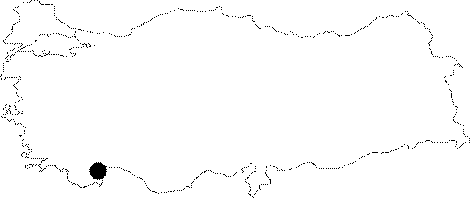
Region: |
Mediterranean | |||
|
Province: |
Antalya | |||
|
District: |
Kas | |||
|
Village: |
Kale | |||
|
|
||||
 |
||||
| It is at the sea level; on the southern edge of the Asirlik Island located between Kale and Ucagiz. The boat passes by the cave while travelling from the Cayagzi Beach which has been used as a quay of the Kale Village to the village. It was developed within the Tertiary Period limestones as a result of abrasion by sea. The roof height is 10 m and the depth of sea water is 1-2 m. The islets inside the cave are comprised by the rock blocks fallen from the ceiling. It is covered with water as it is at the sea level [Güldali et al. 1991:16]. |
| Location: |
| Structural Properties and formation : |
| Research History: |
| Findings: |