|
|
||||
|
|
||||
|
Armutbogazi |
||||
|
For cave maps and drawings please click on the picture... |
For photographs please click on the photo... |
|||
|
 |
|||
|
Type: |
Horizontal Cave | |||
|
Altitude: |
795 m | |||
|
Depth: |
-8 m | |||
|
Length: |
47 m | |||
|
Region: |
Marmara | |||
|
Province: |
Balikesir | |||
|
District: |
Dursunbey | |||
|
Village: |
Durabeyler | |||
|
|
||||
 |
||||
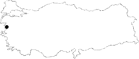
| Location: It is located near the Durabeyler Village; approximately 14 km north of Dursunbey. It lies on the left bank of the Tasovasi Creek. A road leads near to the cave from the Dursunbey District. |
| Structural Properties and formation : It was formed along a pronounced fault line within the Permian marbles. Formed as resurgence; today it is completely a fossil cave. It is composed of two interconnected branches; and it is adorned with stalactites; stalagmites; columns; draperies and wall dripstones. It is dry in all seasons. |
| Research History: It was explored and mapped by MTA; and published in 1997. |
| Findings: A few number of bats was seen. |