|
|
||||
|
|
||||
|
Andonbogazi |
||||
|
For cave maps and drawings please click on the picture... |
For photographs please click on the photo... |
|||
|
 |
|||
|
Type: |
Cave | |||
|
Altitude: |
15 m | |||
|
Depth: |
-10 m | |||
|
Length: |
35 m | |||
|
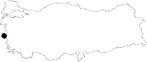
Region: |
Aegean | |||
|
Province: |
Izmir | |||
|
District: |
Selçuk | |||
|
Village: |
Andonbogazi | |||
|
|
||||
 |
||||
| It is located where the Andon Strait meets the delta plains of the Kücük Menderes River. The bottom parts of the cave deeper than 8 m are filled with water as they are lower than the watertable. There are travertines on the walls and debris on the floors. Used as a dumpsite of a ranch; it was explored by MTA. |
| Location: |
| Structural Properties and formation : |
| Research History: |
| Findings: |