|
|
||||
|
|
||||
|
Akpinar |
||||
|
For cave maps and drawings please click on the picture... |
For photographs please click on the photo... |
|||
|
 |
|||
|
Type: |
Vertical Cave | |||
|
Altitude: |
950 m | |||
|
Depth: |
m | |||
|
Length: |
288 m | |||
|
Region: |
Mediterranean | |||
|
Province: |
Antalya | |||
|
District: |
Akseki | |||
|
Village: |
Ibradi | |||
|
|
||||
 |
||||
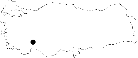
| Location: It is located 2 km north of the Eynif Polje. |
| Structural Properties and formation : Based on the dye tracing carried out by T. Aygen and his team in the groundwaters inside the cave; it was reported to reach to 35 km; one of the longest distances for a groundwater in our country. It was observed that the high-flow water from the entrance of the cave flooded the Eynif Polje in winter time. |
| Research History: It was discovered by T. Aygen in 1966. In a survey by Schmidt et al.; a siphon of 30 m was passed; and a small climb revealed that the cave continued; adding a new branch of 216 m to the total length. |
| Findings: |