|
|
||||
|
|
||||
|
Aglica |
||||
|
For cave maps and drawings please click on the picture... |
For photographs please click on the photo... |
|||
|
 |
|||
|
Type: |
Vertical Cave | |||
|
Altitude: |
450 m | |||
|
Depth: |
-19 m | |||
|
Length: |
52 m | |||
|
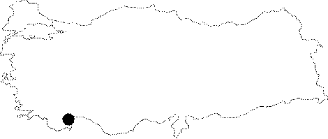
Region: |
Mediterranean | |||
|
Province: |
Antalya | |||
|
District: |
Akseki | |||
|
Village: |
Karamanlar | |||
|
|
||||
 |
||||
| It can be reached by walking from the Karamanlar Village on the Akseki Karamanlar road. The bottom is covered with debris. There are travertines through the end of the cave. It was explored and mapped by MTA in 1986. |
| Location: |
| Structural Properties and formation : |
| Research History: |
| Findings: |