|
|
||||
|
|
||||
|
Afarin Düdeni |
||||
|
For cave maps and drawings please click on the picture... |
For photographs please click on the photo... |
|||
|
 |
|||
|
Type: |
Vertical Cave | |||
|
Altitude: |
1190 m | |||
|
Depth: |
-49 m | |||
|
Length: |
64 m | |||
|
Region: |
Central Anatolia | |||
|
Province: |
Eskisehir | |||
|
District: |
Saricakaya | |||
|
Village: |
Yenipazar | |||
|
|
||||
 |
||||
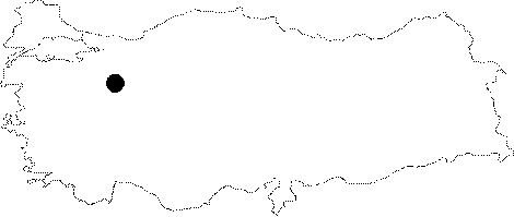
| Location: It is located on the Saricakaya Plateau; 10 km north of the Saricakaya District; which lies approximately 50 km north of Eskisehir. The cave which developed on an extensive table with a plateau character; deeply breaching by the Sakarya River can be reached from the Saricakaya-Yenipazar motorway. This stabilized road reaches to the plateau after 5-6 km; and it runs to the village of Yenipazar passing by the cave. |
| Structural Properties and formation : It was formed on a fault in the northwest-southeast direction at the base of a collapse doline; which is located on a high plateau composed by the Upper Jura Cretaceous limestones. It has a shaft-like entrance. No decoration was found in the cave; of which the floor is covered with debris and blocks. Being on the vadose zone; it is a fossil cave which halted its geological development. It is almost dry except the waters coming from the surface during rainy periods. |
| Research History: It was explored by MTA; and its map and other characteristics were published in 2001. |
| Findings: |