|
|
||||
|
|
||||
|
Abdülvahap Ini |
||||
|
For cave maps and drawings please click on the picture... |
For photographs please click on the photo... |
|||
|
 |
|||
|
Type: |
Horizontal Cave | |||
|
Altitude: |
m | |||
|
Depth: |
m | |||
|
Length: |
10 m | |||
|
Region: |
Marmara | |||
|
Province: |
Bursa | |||
|
District: |
Iznik | |||
|
Village: |
Abdülvahap Tepesi | |||
|
|
||||
 |
||||
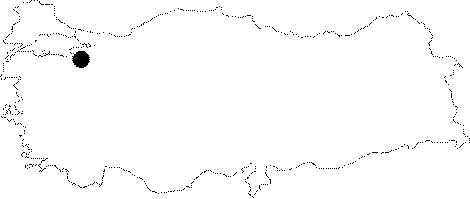
| It is located on a slope of the Abdulvahap Hill; 1 km east of Iznik. It was explored and mapped by BUMAK in 1996 to the BCRA 1a standards. |
| Location: |
| Structural Properties and formation : |
| Research History: |
| Findings: |